
What Kind of House Survey Do You Actually Need?
If you are buying a home, building a fence, or dealing with a property issue, someone will probably tell you that you need a house survey. But there are several types of surveys. They do not all do the same thing. Picking the wrong one wastes time and money. Picking the right one protects you.
Here is a simple guide to the most common survey types and when you need each one.
What Is a House Survey?
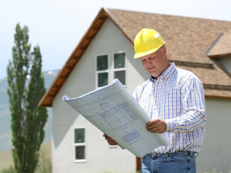
A house survey is an official measurement of a property. A licensed land surveyor carries it out. It records boundary lines, identifies easements, documents structures, and sometimes maps the elevation of the land.
The type of survey you need depends on what you plan to do with the property. Buying, building, refinancing, and settling disputes each require something different.
The Main Types of House Surveys
Boundary Survey
A boundary survey shows the exact legal edges of your property. A licensed surveyor researches old deeds and records. Then they go to the property to measure and mark the corners.
This is the survey most homeowners need when building a fence, adding a structure, or settling a disagreement with a neighbor over property lines.
Best for: Fences, home additions, property disputes, zoning permits.
Mortgage Location Survey
This survey shows where the structures on a property sit in relation to the boundary lines. It is less detailed than a boundary survey. It does not physically mark your property corners.
Most mortgage lenders and title companies require this before a home purchase can close. It gives the lender enough information to confirm there are no obvious problems with the property.
Best for: Home purchases, mortgage closings.
A mortgage location survey is not the same as a boundary survey. You cannot use it for permits, fence placements, or legal disputes. If you plan to build soon after buying, ask your title company about getting a boundary survey at closing instead. It costs a little more upfront but saves you from paying for two separate surveys later.
Topographic Survey
A topographic survey maps the physical features of your land. That includes slopes, elevation changes, drainage patterns, trees, and existing structures. It does not focus on legal boundary lines.
Architects and engineers use topographic surveys when designing new construction or planning drainage for a site.
Best for: New construction, land development, site planning.
ALTA/NSPS Land Title Survey
This is the most detailed survey you can get. It meets standards set by the American Land Title Association and the National Society of Professional Surveyors. These are the only survey standards recognized by lenders and title insurers across all 50 states.
An ALTA survey covers boundaries, easements, rights-of-way, encroachments, utilities, and flood zone details. It is required for most commercial real estate deals and for properties where lenders need a thorough review before approving financing.
Best for: Commercial purchases, large developments, complex transactions.
Elevation Certificate Survey
An elevation certificate records how high a structure sits compared to the base flood elevation set by FEMA. It is not a boundary survey. Its job is to measure flood risk.
Tallapoosa County, where Alexander City is located, has designated flood hazard areas. If your property is in one of those areas and you have a federally backed mortgage, flood insurance is required. Insurance companies use the elevation certificate to calculate your flood insurance premium. If your home sits above the base flood elevation, this certificate may help lower your rate.
Best for: Flood insurance, FEMA compliance, properties near flood zones.
As-Built Survey
An as-built survey is done after construction is finished. It documents what was actually built compared to the original plans. Contractors and local governments use it to confirm that structures were built in the right location, at the right size, and within legal setbacks.
Best for: Post-construction sign-offs, permit closures, development projects.
Which Survey Do You Need?
| Your Situation | Survey You Need |
| Buying a home with a mortgage | Mortgage Location Survey |
| Building a fence or addition | Boundary Survey |
| Settling a property dispute | Boundary Survey |
| Planning new construction | Topographic Survey |
| Buying or financing a commercial property | ALTA/NSPS Survey |
| Applying for flood insurance | Elevation Certificate |
| Finishing a construction project | As-Built Survey |
How Much Does a Survey Cost?
Survey costs depend on lot size, terrain, and how much research is involved. National data puts the average cost of a land survey between $376 and $745, with most homeowners spending around $504. In smaller markets like Alexander City, costs often fall at the lower end of that range for standard residential work.
Here is a general cost guide by survey type:
- Mortgage Location Survey: $150 to $400
- Boundary Survey: $300 to $700
- Topographic Survey: $500 to $1,200
- Elevation Certificate: $150 to $600
- ALTA/NSPS Survey: $1,500 to $5,000
- As-Built Survey: $800 to $2,500
These are estimates. Always get a quote based on your specific property.
Who Can Perform a Survey?
Only a licensed professional land surveyor registered with the Alabama State Board of Licensure can legally perform and certify a land survey in Alabama. Practicing without a license violates Alabama Code Title 34, Chapter 11.
Before hiring anyone, ask for their Alabama license number and verify it with the state board. A licensed surveyor gives you legal protection if questions come up about the survey later.