
The Shoreline Moved, but Did the Property Boundary Move With It?
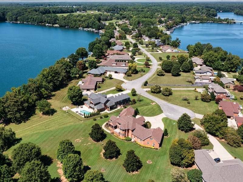
A waterfront lot plays a quiet trick on its owner, and a boundary survey is how you catch it. The edge of the water looks like the edge of the land, so people assume the two are one and the same. On a managed lake, they often are not. The legal limit of a lot might sit at a fixed elevation or a project line set when the reservoir was built, while the visible waterline drifts up and down with the seasons. Owning the ground and owning the water can be two different things. That single fact catches many first-time lake buyers off guard.
Sorting out that difference protects a buyer from a nasty surprise. A dock, a lawn or a patch of beach that seems to come with the lot may actually sit past the described line. The survey draws the real limit so nobody guesses. Lenders and title companies want that certainty too, because a boundary that floats with the water is a boundary nobody can insure with confidence.
Distinguishing the Visible Water Edge From the Described Boundary
The water you see today is a snapshot, not a legal line. Where the lake laps against the grass this week has more to do with rain and lake operations than with any deed. Treating that wet edge as the property limit is a common and costly mistake.
A surveyor keeps the two ideas apart from the start. The described boundary comes from the recorded documents, and the current waterline gets located as its own separate feature. Showing both, clearly labeled, lets an owner see the gap between what the water suggests and what the paper actually grants. That gap can amount to a strip of ground worth arguing over. On a busy lake, that strip may be the only flat spot big enough for a patio or a launch, which is exactly why owners care where the line truly sits.
Reading Contour Calls and Reservoir References in Recorded Documents
Lake lots often carry unusual language in their deeds. Instead of a plain fence-to-fence description, the words may fix a boundary at a certain elevation, a project line or some reference tied to the reservoir that created the lake. Those calls mean nothing until someone reads them correctly against the ground.
Making sense of them takes both record research and field measurement. A contour call at a stated elevation has to be found and marked out on the real slope, which a general reading of the deed can never do. Pairing the written reference with measured elevations is the only way to place a line that a deed defines by height rather than by simple distance. Read the elevation wrong by a foot and the whole boundary shifts up or down the bank, well away from where the deed intended.
Accounting for Seasonal and Operational Water-Level Changes
A managed lake breathes with the calendar. Operators raise and lower the water for flood control, power or recreation, so the same shoreline can gain or lose many feet of exposed ground across a single year. That movement fools people into thinking their land is growing or shrinking.
It usually is doing neither. A dropping lake can uncover ground that was always part of the lot, and a rising one can hide it, without changing who owns what. A survey holds the legal line steady against a moving waterline, which lets an owner understand that the beach appearing in late summer is not new land they suddenly acquired. The same logic runs in reverse during a wet spring, when a high lake hides ground the owner still holds and will see again once levels drop.
Locating Improvements Near the Water
The structures people love most tend to cluster right at the shore. Docks, seawalls, steps, patios and boathouses all sit in the zone where ownership gets complicated. Each one deserves to be located and tied to the surveyed parcel so an owner knows where it stands. A dock that seems to belong with the lot can reach past the line into water the owner does not control.
Position is only half the story down there. Many of these improvements also fall under permits or lake authority rules that ride alongside private ownership. A boathouse can sit on your side of the line and still answer to the agency that runs the reservoir. Showing where each structure lands helps an owner see both the property question and the permission question at once. Owners who learn this early can plan repairs and additions without running afoul of rules they never knew applied to their own dock.
Presenting Lakefront Findings Without Oversimplifying Them
A lakefront survey has more layers than an ordinary lot, and a good drawing respects that. Squeezing everything into one bold line would hide the very distinctions that matter here. The measured waterline, the legal boundary, any reference contour and the nearby structures each deserve their own place on the plat.
Clear labels and separate linework let an owner read the picture without confusion. When the drawing keeps the water edge apart from the deed line and notes the elevations behind each one, a buyer can finally see what they are getting. Honesty on the page here prevents a fight on the shore later. A plat that spells out each line in plain terms also helps a future buyer understand the lot without hiring someone to translate it first.